
Solutions
Solutions Built for the Mission
Every industry has a different sky to protect, survey, or celebrate. Explore how AI-powered drones from Drones.com.AI perform where it counts.

01 — Military & Defense
Battlefield Awareness. Strategic Advantage.
Rugged, AI-driven aerial platforms for intelligence, surveillance, reconnaissance, logistics, and training. Built for demanding environments and mission-critical decisions.
- Persistent aerial surveillance and reconnaissance
- Terrain mapping and route analysis
- Autonomous resupply and logistics support
- Training simulations and readiness exercises
- Secure, encrypted communications

02 — Law Enforcement
Eyes in the Sky. Officers on the Ground.
AI-enabled drones that give officers real-time awareness before they arrive on scene, improving safety for officers and the public.
- Rapid response and scene assessment
- Search for missing persons and suspects
- Accident and crime scene mapping
- Thermal imaging for low-light operations
- Evidence-grade video with secure chain of custody

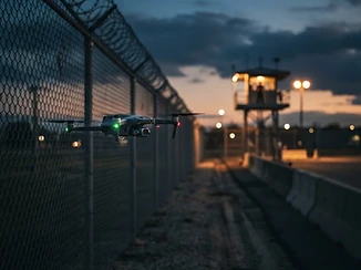
03 — Corrections & Prison Systems
Secure the Perimeter. Protect the Facility.
Correctional facilities face a growing challenge: contraband delivered by drone. We help institutions turn the same technology into an advantage.
- Automated perimeter patrols
- Detection and tracking of unauthorized drone activity
- Emergency and incident overwatch
- Yard and facility inspections
- Staff safety and situational awareness


04 — Protest & Public Assembly Monitoring
Safer Gatherings. Smarter Coordination.
Large public assemblies require clear information. Our AI platforms help agencies and organizers monitor crowd density, movement, and safety conditions, supporting lawful assembly and public safety together.
- Crowd density and flow analysis
- Early identification of medical emergencies and bottlenecks
- Safe-route and evacuation planning
- Coordination between event organizers and public safety teams
- Operations designed to respect civil liberties and applicable law

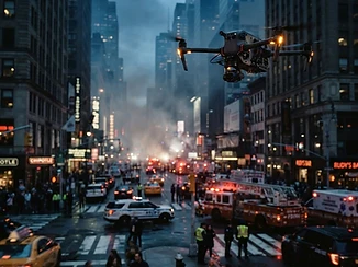
05 — Civil Unrest & Emergency Response
Clarity in Critical Moments.
When conditions change fast, commanders need accurate, live information. AI-assisted aerial overwatch helps agencies protect people, property, and first responders.
- Live aerial overwatch for command centers
- Safe access and egress route identification
- Hazard and fire detection
- Coordination across multiple agencies
- Post-incident documentation and review

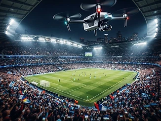
06 — Sports & Stadiums
Elevate Every Game.
Cinematic aerial coverage, performance analytics, and crowd safety for professional, collegiate, and youth sports.
- Broadcast-quality aerial footage
- AI-powered play and performance tracking
- Stadium and parking-lot crowd management
- Training and scouting footage
- Live-event highlight production

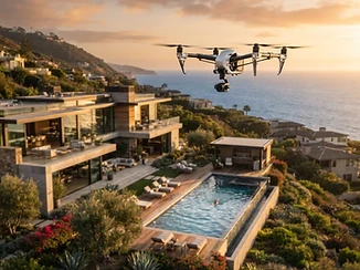
07 — Luxury Real Estate
Show the Property. Sell the Lifestyle.
Stunning aerial storytelling for estates, developments, and commercial listings, produced with AI-assisted editing.
- Cinematic property tours
- 3D mapping and virtual walkthroughs
- Neighborhood and lifestyle context shots
- Construction and development progress monitoring
- Rapid delivery of finished marketing media

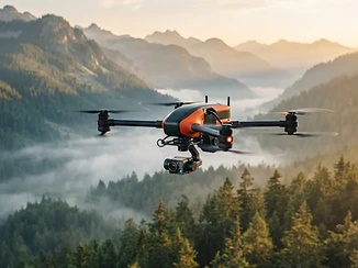
08 — Search & Rescue
Every Minute Matters.
AI-guided thermal and visual search that covers terrain in minutes that would take ground teams hours.
- Thermal detection of people and animals
- Grid-pattern autonomous search
- Delivery of emergency supplies
- Live coordination with ground crews

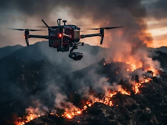
09 — Fire & Disaster Management
See the Fire Before It Sees You.
Real-time hotspot detection, spread prediction, and damage assessment for fire departments and emergency agencies.
- Thermal hotspot mapping
- Fire-spread forecasting
- Structural damage assessment
- Flood, earthquake, and storm response

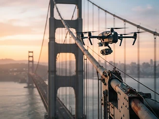
10 — Infrastructure & Industrial Inspection
Inspect More. Risk Less.
AI identifies cracks, corrosion, and wear on bridges, towers, pipelines, and power lines, without sending a person to the top.
- Automated defect detection
- Utility and power line surveys
- Roof and structure inspection
- Compliance-ready reports

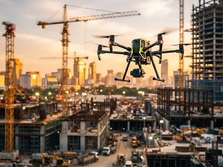
11 — Construction & Development
Build Smarter From Above.
Daily progress maps, volume measurements, and site-safety monitoring in a fraction of the time.
- Orthomosaic and 3D site models
- Earthwork and stockpile measurement
- Progress comparison over time
- Safety compliance monitoring

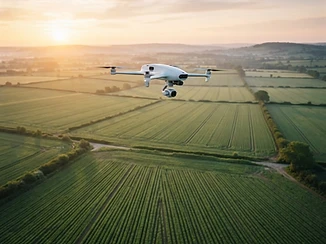
12 — Agriculture & Environmental
Smarter Land. Better Yield.
AI-powered crop health analysis, irrigation monitoring, and wildlife and land-management surveys.
- Crop-health and stress mapping
- Precision spraying and seeding support
- Livestock and wildlife monitoring
- Water and erosion analysis

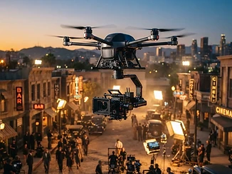
13 — Film, Media & Entertainment
The Shot You Couldn't Get Before.
Cinematic aerial capture for productions, music videos, commercials, and streaming content.
- Cinema-grade aerial cinematography
- AI-assisted tracking shots
- Permitted, insured flight operations
- Full production support